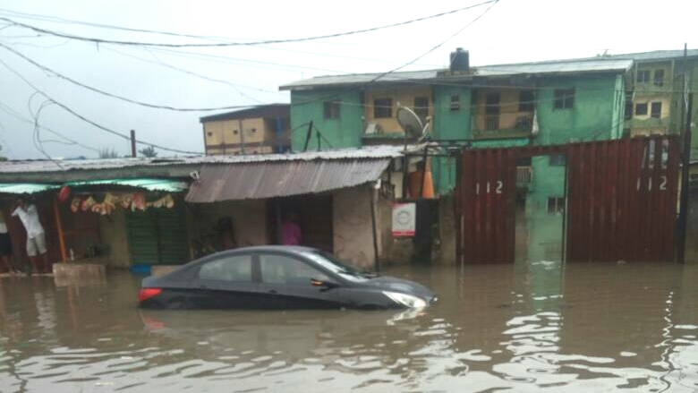
National Emergency Management Agency (NEMA) has revealed that a report from the Nigerian Meteorological Agency (NIMET) and the Nigerian Hydrological Services Agency (NIHSA) on the seasonal rainfall prediction has classified 20 out of the 44 local government areas in Kano State under high risk probable areas to flooding.
This was disclosed by NEMA Kano territorial office coordinator, Sanusi Ado, during a one-day stakeholders meeting on flood awareness campaign and implementation of 2020 seasonal rainfall prediction held at state NEMA’s conference hall.
- Flooding: Houses, farmlands destroyed in Jigawa villages
- Outcry as floods submerge homes, graveyards in Borno
According to him, the report predicted that the annual rainfall will be above normal in Nigeria thereby making some places at risk of flooding.
The coordinator also revealed Tarauni, Garum Malam, Rimin Gado, Gaya, Gezawa, Gwale, Shanono, Gabasawa, Gwarzo, Ungoggo, Warawa, Dawakin Kudu, Dambatta, Bebeji, Kabo, Wudil, Kura, Nassarawa, Kano Municipal and Kumbotso as the identified local governments at risk of flooding in the state.
He added that there was a need for more sensitization on the simple actions that individuals contribute in tackling the risk as all hands were required to ensure effective preparedness to mitigate the impact of the predicted 2020 flooding.
Similarly, in his remarks, Executive Secretary of State Emergency Management Agency (SEMA), Dr Saleh Aliyu Jilli, stated that SEMA and NEMA were working closely in ensuring an effective management of the situation, adding that state emergency stakeholders forum has been meeting on the issue and recommendations are going to be scale-up for necessary consideration.

 Join Daily Trust WhatsApp Community For Quick Access To News and Happenings Around You.

