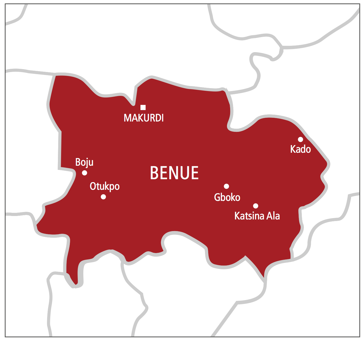
The Benue State Ministry of Lands, Survey and Solid Minerals has successfully captured the land data of at least 10 out of the 23 local government areas of the state.
Our correspondent reports that with the completion of digitalisation in the 10 areas, 13 others now remain in progress.
- Nasarawa inaugurates ACReSAL to tackle erosion, desert encroachment
- Sallah: Ogun residents groan under fuel scarcity, hike in transport fare
The ministry’s commissioner, Bernard Unenge, made this known while briefing journalists about the progress so far recorded on the Benue Geographic Information System (BENGIS) Project.
“BENGIS which was started in 2020 is about 70 percent completed while the digitalisation and capture of files is 60 percent completed.
“The capturing of data through flying and auto photo has been completed. 10 local governments have been completed and put to use. So, right even if you are in Otukpo, you can demand C of O and it will be given with dispatch. Other 15 towns are being processed. We are also carrying out quality control to ensure that what is captured corresponds with what is on ground.
“The building project is about 70 percent completed. We hope that by August, the entire service centre will be completed. We are targeting October for commissioning of the project,” he said.
Unenge who also intimated that over 3000 Certificates of Occupancy have been signed by Governor Samuel Ortom, however, frowned at the attitude of youths harassing land developers and extorting money from them.
He described the act as ‘illegal’ and not permitted by law.
“They should not be encouraged to continue in this act. Benue youths should engage in meaningful ventures to earn a living rather than harass members of the public who toil hard to set up structure,” the commissioner said.

 Join Daily Trust WhatsApp Community For Quick Access To News and Happenings Around You.
